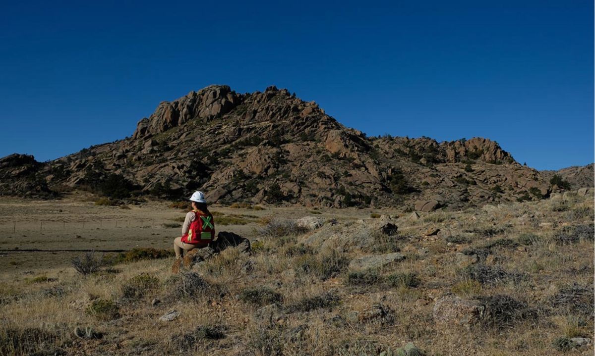
American Rare Earths has revealed assay results from a recent mapping and sampling initiative conducted in the Cowboy State Mine vicinity.
This data empowers American Rare Earths, to pinpoint higher-grade zones adjacent to the mining area as identified in the recently released scoping study. These, findings complement the recently updated JORC resource estimate of 2.34 billion tonnes, demonstrating the consistently enriched mineralization present in the Halleck Creek region.
The recent mapping and sampling initiative conducted within the Cowboy State Mine Area was meticulously focused on achieving higher resolution. A total of 95 samples were meticulously analyzed at ALS Global, including 5 quality assurance/quality control samples consisting of standards, blanks, and duplicates.
Donald Swartz, CEO, expressed optimism about the latest findings, noting their alignment with the positive outlook outlined in our recent scoping study. “These results complement our recently unveiled mine plans, which were exclusively developed on state lands, streamlining the permitting process. Identifying these higher-grade target areas will enable us to refine our mine planning and enhance project economics as we progress into pre-feasibility analysis. Our remarkably low operating costs ($38.38/kg NdPr equivalent) are primarily due to favorable geological conditions, as evidenced by the highly enriched mineralization observed in these surface samples from zero-strip-ratio mining zones. Additionally, levels of Uranium and Thorium remain naturally minimal”
The comprehensive results are succinctly summarized. Notably, the mapping effort has refined the delineation of contacts between the RMP and surrounding granites, the new data offers enhanced constraints on the geological composition of the Cowboy State mine area, crucial for future resource targeting and drill hole planning.
Particularly noteworthy is the identification and delineation of areas covered with unconsolidated Tertiary gravel, which presents significant potential upside for exploration endeavors.


